Leapfrog geological modelling is made by geologists, for geologists.
Intuitive workflows, rapid data processing, and visualisation tools bring teams together – and enable the discussions that drive decisions.
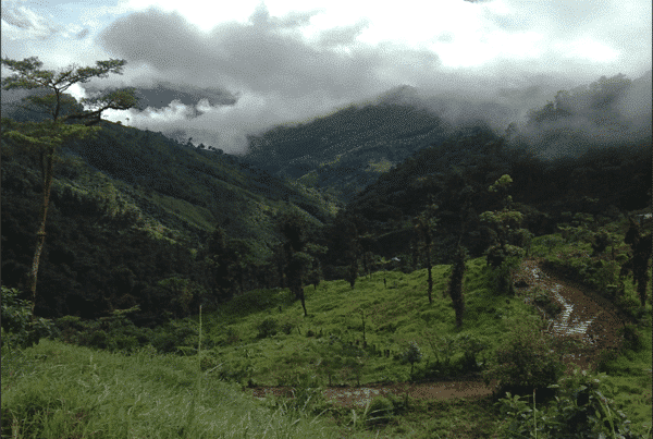
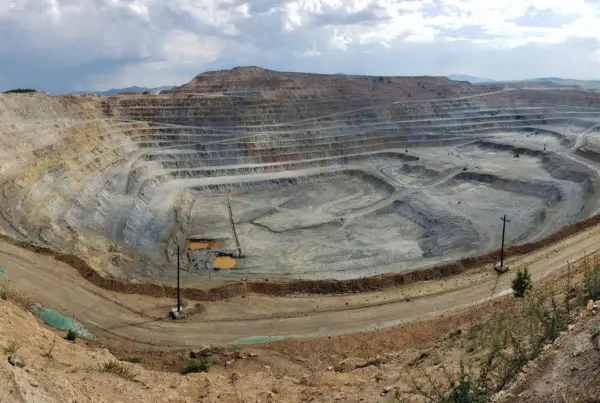
Rapidly integrate, communicate, and interpret geological data with industry-leading 3D modelling
Get a demoTalk to usLeapfrog geological modelling is made by geologists, for geologists.
Intuitive workflows, rapid data processing, and visualisation tools bring teams together – and enable the discussions that drive decisions.
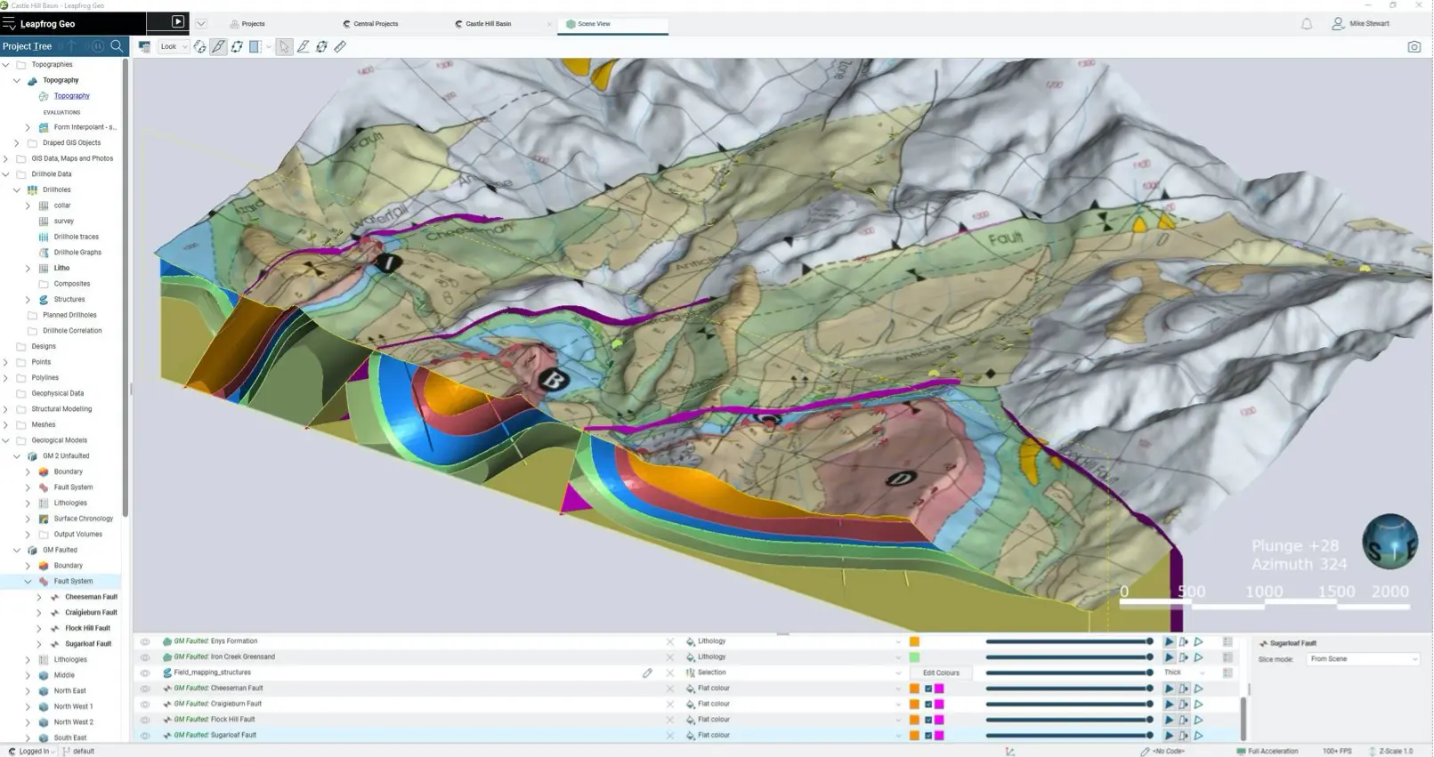
Build and refine geological models with user-friendly tools. Input large data sets and rapidly generate models directly from the data, bypassing time-consuming wireframing. Quickly see your geological data visualised in 3D and gain visual insights to guide your interpretations.
As you add new data to a model, the rules and parameters you already set are automatically applied. Make a change to one model and any dependant models are instantly updated – ensuring models are always up to date.
Analysing data is quick and intuitive with Leapfrog Geo’s features, such as exploratory data analysis, distance function, structural modelling, vein modelling, and indicator interpolation tools.
Test new ideas and refine your model, quickly. Duplicate models and apply streamlined workflows so you can iterate interpretations the moment new insights become available.
Rapidly copy, modify, test, and share alternative interpretations. Keep track of how decisions were made for auditing with a record of all input data and parameters used to construct a surface.
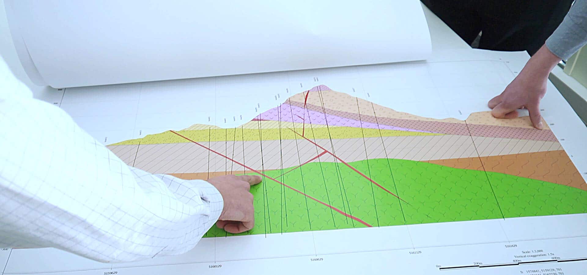
Get teams and non-technical stakeholders on the same page by sharing 3D models or 2D slices with annotations. Create movies of your model to illustrate ideas clearly, and export high quality images for reports and presentations.
Bring in data directly from Seequent solutions such as MX Deposit and Imago, or from industry-leading partner solutions, such as acQuire, Maptek, ioGAS Link, IMDEXHUB-IQ, ALS Coreviewer and Coreshed.
Import and work with many different types of data, like GIS, maps and images, drillhole, points, geophysical, structural, meshes, polylines, and geochemical data.
Learn more about Leapfrog Geo
Spend your time testing ideas and making the best decisions with streamlined workflows and tools designed for geologists.
Leapfrog geological modelling provides:

Leapfrog Geo offers tools crafted for the geologist and logical workflows that save time and frustration, as well as shorten training times.
Users can learn the fundamentals in just a few days and quickly become proficient, allowing faster modelling and making more time for scientific analysis.

Build complex geological models rapidly from drillhole data, structural data, points, polylines, and meshes in the project.

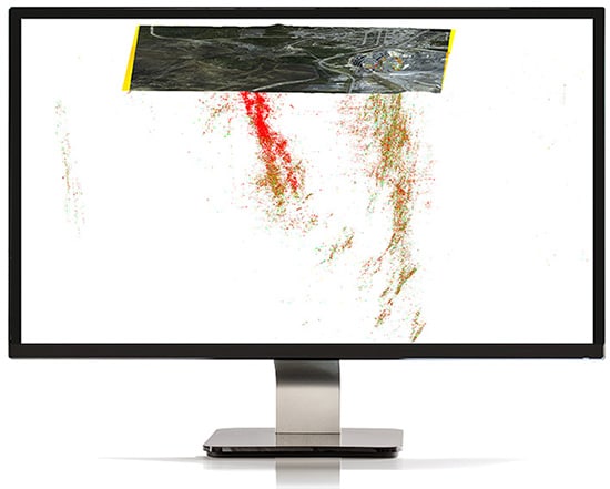
Easily build isosurfaces from drillholes and point data. See visual trends in the data and continuity in surfaces. Advance understanding with rapid first pass visualisation of patterns in numeric data.
Add on resource estimation extension Leapfrog Edge to carry out robust resource estimates.
Being able to rapidly visualise in 3D brings clarity and understanding to even complex data.
Interactive 2D and 3D visualisation tools aid in analysing your data and spotting correlations and patterns. View a model from any angle, discover trends, and detect errors.
Easily build block models in 3D and keep them up-to-date.
When coupled with optional extension Leapfrog Edge it provides a complete resource estimation solution.

Communicate your insights with anyone in the organisation by displaying cross sections, renders, scenes, and movies in 2D and 3D.
Help team members and stakeholders with different levels of technical knowledge understand your model, and have conversations that lead to decisions.

Your Seequent ID allows you to sign in and receive updates to your Leapfrog Geo software from anywhere with internet connection. Going off the grid? Sign in online and your software will run on your computer without connection for up to 30 days.
On your MySeequent account, discover in-depth training courses, events, as well as helpful tips and tricks – and our User Help Centre.

Seequent is a member of the Global Mining Guidelines Group made up of representatives from software and mining companies who work collaboratively to develop the Open Mining Format (OMF), an open-source file specification for 3D data interoperability.
We recommend you use Windows 10, with a reasonably fast processor, mid range graphics and 32GB of system memory.
Supported kinds of data and formats that you can use with Leapfrog Geo.